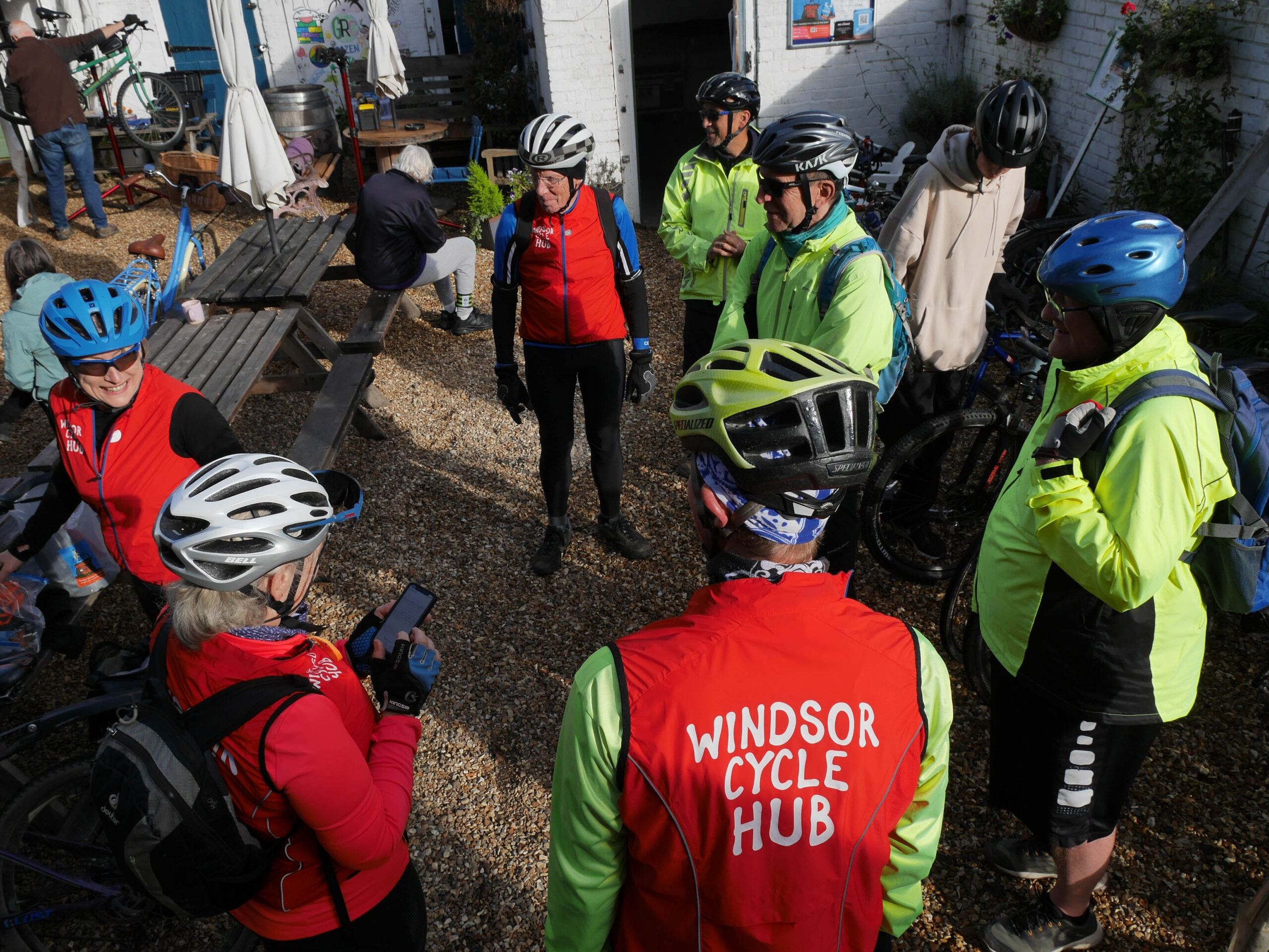
The best way to discover our routes is to come on some Guided Rides. You won’t have to keep checking a map, you’ll learn plenty of fun facts along the way (history, nature, film locations etc.), we’re very sociable, we can help if your bike goes wrong and you’ll discover a few quiet paths that we keep secretjust for those who join us in person.
However, we know that Saturday mornings don’t suit everyone – hence this section.
Where Do We Ride?
Very simply, around Windsor (but seldom in the town centre – it’s a tad busy) – so the Jubilee River path, Windsor Great Park, Eton, Dorney, Bray, Cookham, Burnham Beeches plus the quiet bits of Maidenhead and Slough.
We like quiet routes best – ideally away from traffic and with a big dollop of nature and/or history.
Finding Official Maps and Routes
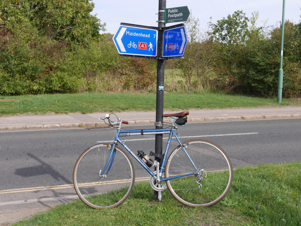
It’s best to come on our rides, we make a point of saying “this bit joins up with that bit” – so you can soon plan your own routes. Fortunately, many of the places we ride have maps showing where you can cycle, and they update them if anything changes. They prove that you don’t need expensive or complicated tech to find your way .around – just print these maps out and put them on your pocket. Just click the headings in the paragraphs below
Slough Borough Council – Slough’s network is really coming on, it includes some of the Jubilee River, has some great parks and offers access to Burnham Beeches.
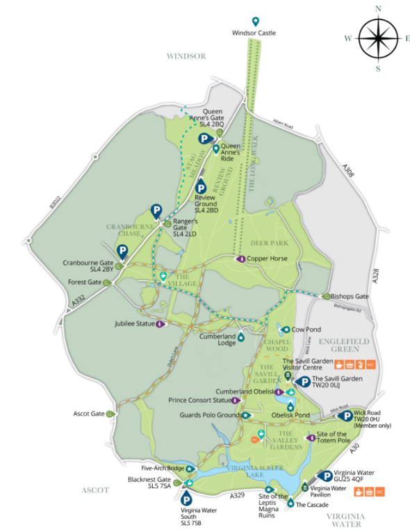
Windsor Great Park – the best place to ride in our area, if you can manage the hill from Stag Meadow (W&E football pitch) – hence why we include it on so many rides for practice. You might need to walk it the first time but keep trying – it’s a great place to cycle. Easily accessible via Vansittart Road.
Burnham Beeches – we often visit on L4 rides, it’s a great place to cycle and has an excellent café.
Knowl Hill Bridleway Circuit – one for the enthusiastic mountain or gravel bike rider. Handy for Velolifecafe. It’s well sign-posted, just watch for horses.
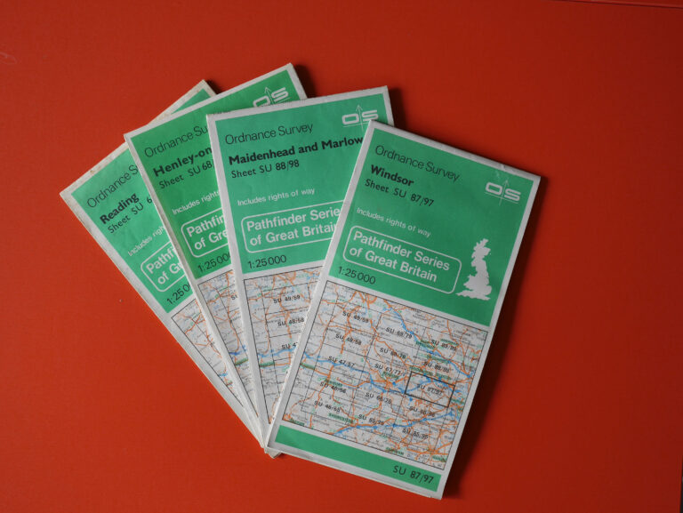
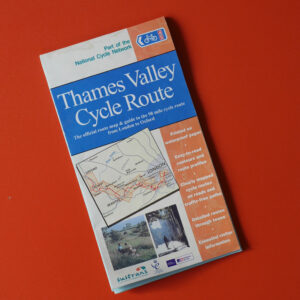
Good Old Paper Maps
Ordnance Survey’s Leisure Map 160 shows all the key places you’re likely to cycle in this area. Look out for vintage green OS 1:25000 maps in charity shops – they’re pocket sized and cover manageable chunks of the area. You’ll be amazed how little Bridleways etc. have changed over the years.
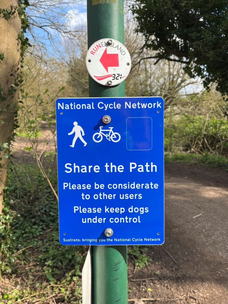
Sustrans – the people behind the National Cycle Network (NCN). We regularly use NCN4, it comes very close to The Swan. They’ve got online resources as well as paper maps.
Tech Solutions
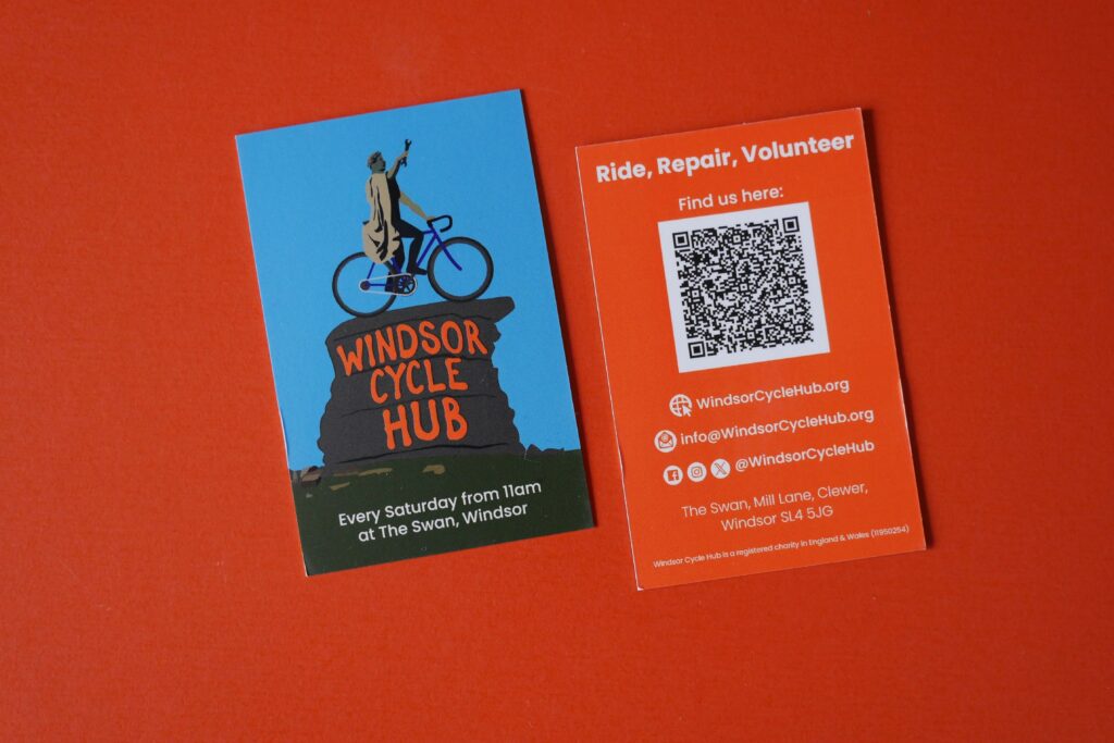
Your smartphone is a great place to start. Everyone can useGoogle Maps for free, and you can select cycle routes (just check that the route signs say they really are). We even do a handy card that opens up our Google Maps location on your phone.
Depending on how tech savvy you are, there are plenty of options including online maps from Ordnance Survey and Sustrans.
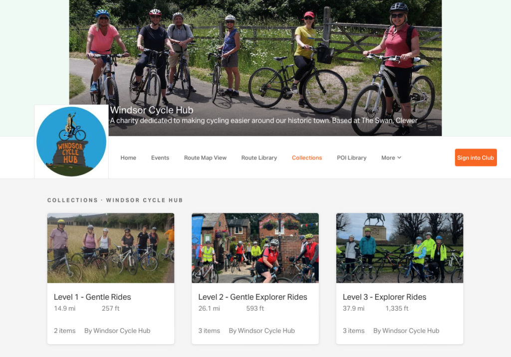
Ride with GPS
We’ve looked at lots of apps and think that Ride with GPS is the best, hence we post our rides on it. You can print maps with turn directions or send them to your phone or bike computer. You can visit our Ride With GPS page by clicking on the adjacent picture.
On Ride With GPS we have a number of routes listed, some of which are shown in the map below.
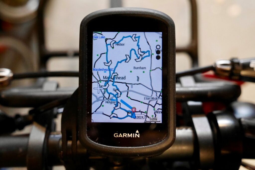
Other Devices and Apps
Garmin and other GPS devices – there’s plenty of choice out there, it’s just SatNav for bikes. You can send maps to one from RideWithGPS etc., as well as track your rides. Strava, downloadable for phones, is good for ride tracking too.
What3Words – it’s not a pure navigation tool but is well worth having the app on your smartphone, in case of emergency and to find places that use a What3Words address to aid location. Very useful off the beaten track. It’s worth downloading FixMyStreet while you’re at it, to report the inevitable potholes you’ll find. It actually works.
Share with Care
Finally, a polite reminder to observe the Highway Code and landowner signage when you ride. It’s in everyone’s interest that we demonstrate that people who rides bikes are nice and considerate to others – so we can all enjoy the countryside. Some of our routes may show brief stretches of footpath, as it’s the safest way to join bits of rides. Please get off your bike and walk when instructed.